
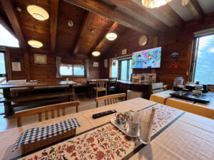
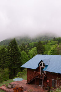
I wake up in a dreary fog, it’s drizzling gently and mist hangs over the mountains. Breakfast is at 08:00 and it’s delicious and filling. In typical Japanese style there’s fruit, salad, protein, soup, and bread. There’s actually three types of bread, I love it.
The squeeze-mate was originally invented in Australia for tomato sauce, you know the thing I’m talking about that you get with meat pies. But Japan has taken it to the next level with a combined strawberry+margarine version that you can see on my breakfast plate. It is delicious on the croissant.

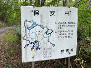
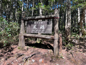
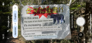
Now to my hiking plan; part of the problem is that driving in is not so easy. Ideally you want to get as close as possible to a trailhead then walk in from there, but the best trailheads aren’t reachable by car. Because it’s a protected wilderness area, some are only reachable by public bus or special taxis. And of course because it’s the off-season for tourism, good luck finding any of those.
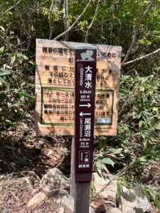
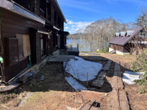
I eventually find my way to Oshimizu No.2 Parking Lot where you can park and then walk in. It’s about midday by the time I set out, and I think it’ll be enough time if I hurry. If I can walk in and do a lap of the lake or something that’d be great, and if not then I’ll still be happy.
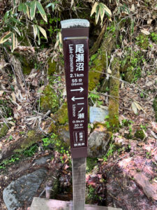
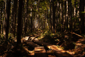
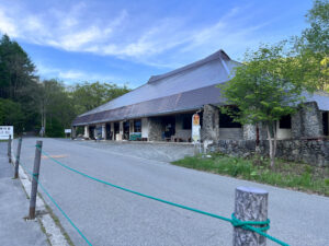
As it turned out, this was a slog. I had to settle for a lot less than I wanted to do, but I’m very pleased with it all the same. It was about 14.5km for the hike to the lakeside visitor centre and back, and there’s no way I could’ve done more than that in the time that I had – it took about five hours from start to finish.
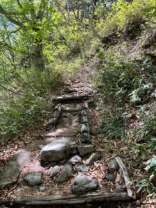
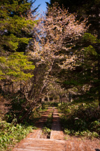
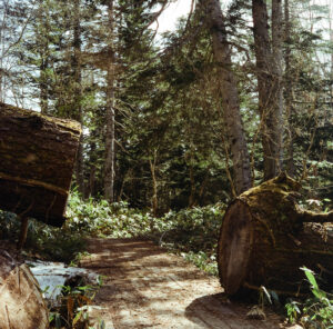
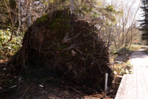
The track is pretty well kept, clearly marked, and not overly strenuous. In truth I was hoping to see more of the area inside the park, in particular the marshland and lake, but it took all my time to just get in and out. You should definitely allocate more time (and have a better idea about your options for getting in there).
But that’s an afterthought, my problem now is time. The original plan was to get to Takayama this evening where I’ve booked a hotel, but as I got back from my hike and returned the rental car I realised it just wouldn’t be possible – there are simply no trains that can get me to Takayama tonight. During daylight hours it’s a 4-hour trip up through Nagano and Toyama, or maaaaybe I have a chance at a better serviced route back to Tokyo then west on the main Tokaido line, but that’s a 6-hour journey. FUUUUUUUUCK.
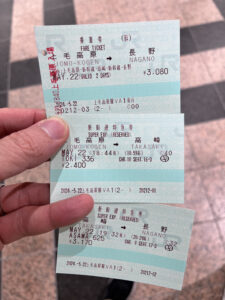
I’m running out of time and options. If I can’t get to Takayama then I’ll push as far as I can, but I still need a place to stay for the night. I can push further along the route, but arriving later and in a smaller town means it could be hard to get a room. I go for Nagano, it’s 95min away and a big enough city that I should be able to get a hotel. I ask the JR clerk for the next seat, and in a short while I’m back on the Toki superexpress.
I can use this time to find a hotel. Hotel, hotel… this place sounds fine. Linden Plaza is not far from Nagano station, and it shares a name with the developers that made that Second Life MMORPG.
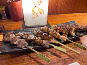
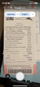
I find a yakitori joint near my hotel and eat a lot of food. Today has been a good day in the end. Bless this place for doing QR code ordering, because I really can’t deal right now.


What I’d do differently next time
I’d love to come back and do this again, but next time better prepared. I’d change a few things:
- Come during tourism season for better accessibility. Or maybe not, but the main thing is…
- Find out where the trailheads really are. Some more google searching has come up with a few useful articles in English, but you still need to piece it all together yourself
- Find out which cabins are available and book one to stay in overnight, I think it’d be really nice!
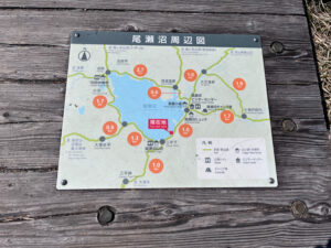
I was aiming for Hatomachitoge trailhead but couldn’t find it, either because it’s not reachable by car, or the road is closed. I didn’t spend too much effort trying to read the signage, but the road closure that I did see was really unclear. I settled for Oshimizu in the end, but it’d be much easier if there were real maps for this stuff. If I’d headed directly for Oshimizu that would’ve been fine too.
These links seem kinda helpful:
- This has the classic abstract map for key locations around Oze: https://www.japan-guide.com/e/e7440.html
- This map shows trailheads and the interior paths of the national park, but no detail about actually reaching the trailheads: https://oze-fnd.or.jp/en/rg/
- TEPCO (the power company) has a big presence in the area due to their hydro plants, so they have this nice little brochure telling you about the park: https://www.tepco.co.jp/en/rp/oze/pdf/oze01.pdf
Furi’s stats
Physical: ★★☆☆☆ Satisfying but today was a hard slog. I really need a shower
Mental: ★★☆☆☆ Frazzled, but I’m pulling through for myself